
At a height of 3,046 m, Bach Moc Luong Tu, also called Ky Quan San, boasts the fourth highest peak in Vietnam and second highest in Lao Cai Province after Fansipan. Formerly cultivated by ethnic minority people H’Mong, the mountain has lured trekkers in recent years.
It usually takes two to three days to conquer Bach Moc Luong Tu, starting from Sang Ma Sao Commune, Bat Xat District of Lao Cai Province.
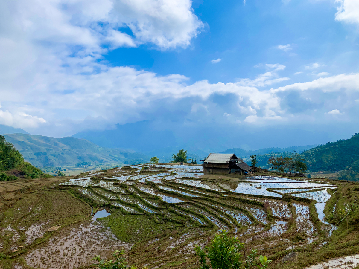
Visiting Bach Moc Luong Tu around June, adventurers can witness H’mong farmers tend their terraced rice fields, a symbol of northwestern Vietnam.

Another must-try experience is viewing the breathtaking sunrise from Muoi peak, at a height of 2,840 m.

With temperatures atop Muoi peak consistently low, a jacket, gloves and warm hat are essential for reaching Bach Moc Luong Tu.

Spectacular backdrops can make for a stunning profile picture.

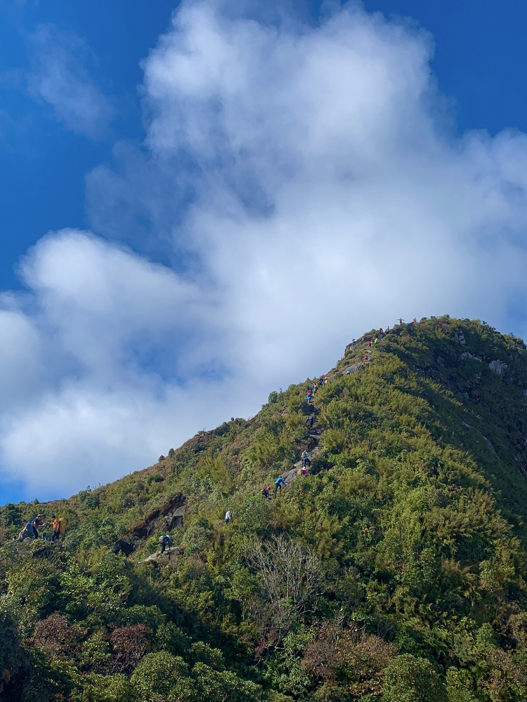
Small trails skirting the abyss afford a thrill.

A group of trekkers pose atop Bach Moc Luong Tu after a long climb. Surrounding the peak is a thick layer of fog, decreasing visibility.
Vnexpress.net